| Category |
Tools |
| Submitted by |
Marc |
| Author's Name |
Markus Bader
|
| Homepage |
www.markus-bader.de |
| Version |
1.0 |
| Compatibility |
Win95 / Win98 / WinMe / WinNT / Win 2000 and WinXP |
| Published |
Thu Jul 05, 2007 4:43 pm |
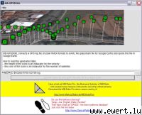
MB-GPS2KML converts a GPS log file (in plain NMEA format) to a KML file (placemark file for Google Earth) and opens this file in Google Earth.
How to read the generated data:
- the height of the icons is an indiacator for the velocity
- the color of the icons is an indiacator for the number of satellites
- the size of the icons is an indicator for the HDOP
Works fine with Sony GPS CS1-KA.
|

| Rating |
 |
| Popularity |
 |
| Downloads |
10 |
| Page views |
5359 |
|


